A dropped call on a back road is irritating. Losing your route while towing equipment, checking fences, travelling between mine sites or heading into a fireground is a different problem altogether. This offline navigation mobile guide covers what actually keeps maps, positioning and route information working when mobile coverage disappears.
The first hard truth is that an expensive mobile alone does not solve it. Offline navigation depends on preparation: the right mapping app, properly downloaded maps, enough storage, a reliable GPS receiver and a mobile that can survive the weather, vibration and long shifts. Do that work before leaving town, not from the shoulder of a dusty track with 4 per cent battery left.
How offline navigation works on a mobile
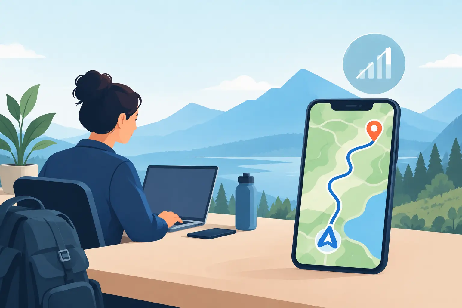
Your mobile does not need a SIM signal to determine its location. Modern phones use GNSS – a group of satellite systems that includes GPS, Galileo, GLONASS and BeiDou – to calculate position. If the device has a reasonably clear view of the sky, it can usually show where you are without mobile data.
What mobile coverage normally provides is the map itself, traffic information, live search results, address look-ups and cloud-based route recalculation. When coverage is gone, an app with no downloaded map tiles may still know your coordinates but show them on a blank screen. That is not navigation.
A proper offline setup stores the map data on the handset before the trip. It can then display roads, tracks, contours, points of interest and your position without relying on a network. The level of detail depends on the app and map package you choose. Road navigation is useful for transport and service crews; topographic mapping is more useful for farms, bush work and remote operations.
Offline navigation mobile guide: prepare before departure
Start by defining the job. A driver moving between regional depots needs dependable road maps, lane guidance and an easy-to-read route. A station hand, survey crew or four-wheel-drive operator may need property tracks, topo layers, offline waypoints and the ability to record a route. One app rarely does every job equally well.
Download maps for the entire working area, not just the day’s destination. Include approach roads, alternate routes and a sensible buffer beyond the boundary. Map files can be large, particularly when satellite imagery or detailed topographic layers are involved, so check available storage before you leave. A mobile with usable internal storage and support for a microSD card can be a practical advantage for map-heavy work.
Then put the mobile into flight mode and test it. Open the mapping app, search for saved locations, start a sample route and confirm that your position appears on the map. This simple test exposes a common mistake: people download an app but not the actual map data.
Save critical locations as waypoints rather than relying on memory or a message thread. That may include gates, site offices, muster points, water tanks, fuel stops, accommodation, access tracks and meeting locations. Give them plain names that make sense to the next person using the mobile. “Gate north-east creek crossing” is better than “Mark’s spot”.
Before a remote trip, check these essentials:
- Offline maps cover the full work area and likely detours.
- Key locations, tracks and emergency coordinates are saved on the device.
- The chosen app has been tested with mobile data switched off.
- The mobile, vehicle charger and backup power source are fully charged.
- A paper map, written directions or dedicated GPS is available where the consequences justify redundancy.
That last point matters. A mobile is a highly capable navigation tool, but it is still one piece of equipment. For isolated travel, do not build your entire safety plan around one screen.
Choose maps for the terrain, not the marketing
Mainstream road-map apps are convenient for sealed roads and established routes. They often provide good offline driving directions after the required region is downloaded. Their weakness is remote detail. A station track, forestry road, seasonal access route or unsealed shortcut may be absent, out of date or labelled incorrectly.
For field work, look for mapping that supports offline topographic maps, GPX or KML files, coordinate formats and offline waypoints. Contours, creeks, fire trails and land features can be more valuable than café listings when you are kilometres from the nearest town. If your team uses a specific mapping platform, standardise on it where possible. Sending a pin is not much help if one person cannot open the file or see the same layer.
Satellite imagery can be useful for recognising cleared areas, creek lines and track junctions, but it consumes storage quickly and may not reflect recent grading, washouts or closures. Treat every map as an aid, not proof that a road is passable. Conditions change after rain, flood, fire and heavy vehicle traffic.
Why a rugged phone earns its place
Navigation is hard on a mobile. It keeps the screen active, uses the GPS receiver continuously and is often mounted in direct sun. Add dust, rain, vibration and gloves, and an ordinary consumer handset can become the weak link.
A rugged mobile should have a battery sized for a real shift, not a best-case lab claim. Battery capacity helps, but power management matters too. Turn down screen brightness when practical, disable apps that are not needed and download maps over Wi-Fi before the job. A quality vehicle charger is worth carrying, especially when the mobile doubles as a work camera, radio and navigation unit.
Screen visibility is equally important. A bright display is easier to read through a windscreen or under harsh Australian sun, while a usable touchscreen helps when hands are wet or dirty. A solid mount keeps the mobile visible without turning it into a projectile over corrugations. Avoid cheap mounts that loosen after a few weeks of vibration.
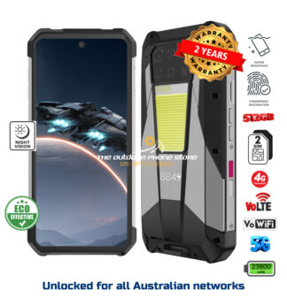
Water and dust protection are not decoration. A mobile used around machinery, in a ute, on a farm or at a construction site needs sealed ports and a housing built to take knocks. Just as importantly, choose a device with local support and a warranty that means something when it fails. Rugged Phones Australia focuses on vetted devices for exactly this reason: bargain imports are not a saving if a failed charge port or cracked screen leaves you without a working navigation tool.
Manage battery, heat and signal expectations
GPS itself is usually modest on battery use. The larger drain is a bright screen, continuous route guidance and the mobile repeatedly hunting for a weak mobile signal. In fringe coverage, manually switching to flight mode can preserve power while leaving GPS and offline maps available. You can enable Bluetooth separately if needed for a vehicle system or headset.
Heat is another issue in Australia. Do not leave a navigation mobile baking on the dashboard, particularly in summer. Direct sun can force the screen to dim, reduce charging speed or shut the device down to protect its battery. Position the mount away from the hottest part of the windscreen where possible, use cabin airflow and keep a backup power bank out of direct heat.
A solar charger can help on extended trips, but it is not a magic fix. Its real output depends on panel size, sunlight, heat and cable quality. For most work vehicles, a proper 12V charging setup plus a charged power bank is more predictable.
Know the limits before they matter
Offline maps cannot provide live traffic, current road closures or instant rerouting based on conditions unless the mobile regains data coverage. Some address searches also fail offline, so save locations and coordinates in advance. Satellite positioning can be less accurate under dense tree cover, beside steep terrain, inside vehicles with coated windscreens or near high structures.
For safety-critical remote travel, consider what happens if the mobile is damaged, flat or inaccessible after an incident. A satellite communicator, personal locator beacon, vehicle radio or dedicated GPS may be appropriate depending on the location and risk. This is not overkill for remote Australia. It is sensible planning.
The best navigation setup is the one you have tested, charged and loaded before the gate closes behind you. Give your mobile the right maps, protect it from the conditions and carry a fallback. When the coverage bars vanish, preparation is what keeps the route in front of you.